Inexpensive Air Quality Sensors here for our Climate Catastrophe
As our atmosphere rapidly accepts pollutants and the planet rises in temperature, small air quality sensors are becoming more affordable and widely used.
Low-cost air quality sensors are becoming more accurate and affordable to the general public month by month. There is a grand amount of research occurring in the field so air quality sensors. Government, private industry, non-profits and community scientists are all concerned about the air pollution around the world. People are working together to develop platforms to share data to for public use, improving the visualization and communication of that data and using it for education and policy making.
At the AQRC, we have re-developed the Air Sensors International Conference to offer an opportunity for these researchers, policy makers, industry members and community scientists to discuss the latest improvements and news related to small, affordable air quality sensors. The conference has been hosting webinars to share the latest research and projects over the past six months and will continue to do so. Review the topics and sign up on the website.
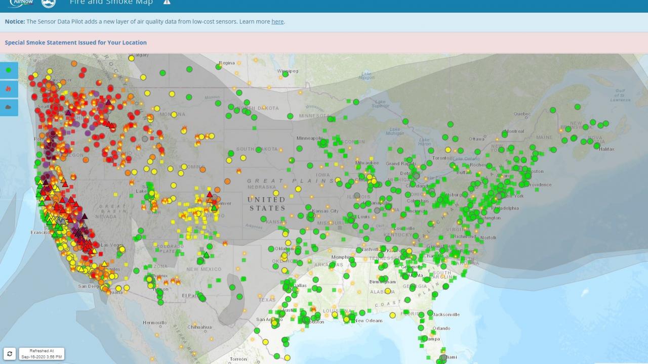
Of these sensors, PurpleAir, founded and led by ASIC committee member, Adrian Dybwad, in particular has taken the lead in sensor development and data sharing. PurpleAir is a network of more than 9,700 low-cost air quality sensors that feed data into a near-real time global map of air pollution. The US EPA and USFS, for the first time ever, included data from the community network of PurpleAir sensors into its AirNow fire and smoke map.
Read more about the timely development of PurpleAir and inclusion in national networks from Justine Calma at the Verge